
In the Philippines, seismic monitoring is primarily conducted by the Philippine Institute of Volcanology and Seismology (PHIVOLCS), which operates a comprehensive network of seismic stations across the country. These stations are equipped with various seismic tools to detect and record earthquakes, providing crucial data for earthquake monitoring and hazard assessment.
Commonly Used Seismic Tools in the Philippines
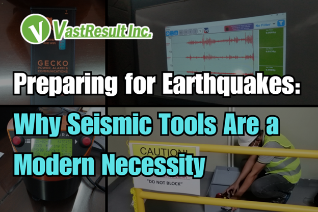
Seismometers and Seismographs
— These instruments detect and record ground motions caused by seismic waves. PHIVOLCS utilizes seismometers in its seismic stations to monitor earthquake activity.
Accelerographs
— Accelerographs measure the acceleration of ground motion during earthquakes. PHIVOLCS has established numerous strong-motion stations equipped with accelerographs to capture data on large ground motions during high-magnitude events.
Borehole Seismic Stations
— These stations involve installing seismic sensors in boreholes to reduce surface noise and obtain clearer seismic data. PHIVOLCS established its first borehole seismic station in San Jose, Tarlac Province, to enhance earthquake monitoring capabilities.
Acoustic Flow Monitors (AFMs)
— AFMs are used to detect ground vibrations caused by lahars (volcanic mudflows). After the 1991 eruption of Mount Pinatubo, PHIVOLCS, in collaboration with the U.S. Geological Survey, installed AFMs to monitor lahar activity in the area.
These tools are integral to PHIVOLCS’s mission to provide accurate and timely information on significant earthquakes and related hazards in the Philippines.
Why Seismic Tools Are a Modern Necessity
As the world continues to urbanize and populations grow in seismically active regions, understanding the Earth’s movements has never been more important. Seismic tools—such as seismographs and seismic survey equipment—are no longer optional; they are essential instruments in the ongoing effort to monitor, understand, and mitigate the risks associated with earthquakes and other geological events.
Here’s a closer look at why seismic tools are so vital in today’s world:
Earthquake Monitoring and Early Detection
Seismic tools play a frontline role in tracking earthquakes. Instruments like seismographs detect and record ground motion, providing data on the location, depth, magnitude, and frequency of seismic events. While accurately predicting earthquakes remains a major scientific challenge, this real-time and historical data is crucial for identifying seismic patterns and improving long-term risk assessments.
Understanding the Earth’s Interior
When seismic waves travel through the Earth, they change speed and direction depending on the materials they pass through. This allows scientists to “see” beneath the surface and construct detailed models of the Earth’s interior layers, helping us understand everything from tectonic plate boundaries to mantle composition.
Resource Exploration
In the oil, gas, and mining industries, seismic surveys are indispensable. By sending controlled seismic waves into the ground and analyzing their reflections, geologists can map underground structures and pinpoint areas likely to contain hydrocarbons or valuable minerals. This makes exploration more efficient, cost-effective, and environmentally responsible.
Engineering and Infrastructure Resilience
For engineers and urban planners, seismic data is a cornerstone of earthquake-resistant design. It informs decisions on how to build safer buildings, bridges, roads, and dams, particularly in areas prone to seismic activity. By understanding the potential ground movements in a given location, professionals can design structures that withstand seismic forces and minimize loss during an event.
Geological Mapping and Hazard Assessment
Seismic surveys also provide detailed insights into the geological makeup of a region, helping geologists map faults, analyze tectonic settings, and assess regional risks. This data is crucial for land-use planning, zoning laws, and disaster preparedness programs in vulnerable areas.
Advancing Scientific Research
Beyond practical applications, seismic tools contribute to broader scientific understanding. They support studies in plate tectonics, rock mechanics, fluid dynamics, and other key areas of Earth science. Seismic data enables researchers to uncover the dynamics of the planet—how it shifts, evolves, and influences life on the surface.
In Summary
Seismic tools are not just scientific instruments; they are tools of resilience, sustainability, and safety. They empower us to better understand natural forces, protect communities, design smarter infrastructure, and make informed decisions about how we interact with the Earth.
As technology continues to advance, the role of seismic tools will only become more integral—shaping the way we plan, build, and live in a dynamic world.
If you’re interested in implementing seismic monitoring solutions or need assistance in selecting the appropriate tools for your needs, feel free to reach out for expert guidance. Contact us at (02) 0804 0740 or email us at sales@vastresult.com to inquire.